Academia.eduAcademia.edu

Shoreline Changes

description58 papers
group25 followers
lightbulbAbout this topic
Shoreline changes refer to the dynamic alterations in the position and configuration of coastal boundaries due to natural processes such as erosion, sediment deposition, and sea-level rise, as well as human activities. This field of study examines the causes, impacts, and management strategies related to these transformations in coastal environments.

Key research themes

1. How can remote sensing and GIS techniques improve the quantification and prediction of shoreline changes over multi-decadal periods?

This theme focuses on the utilization of satellite imagery, aerial photographs, and GIS-based tools such as the Digital Shoreline Analysis System (DSAS) to quantify historical shoreline changes and forecast future shoreline positions. It is vital for effective coastal management, hazard assessment, and policy formulation in the context of accelerating anthropogenic pressures and climate-related impacts.

Key finding: Using multitemporal satellite images spanning 1972 to 2020 and applying DSAS and Kalman filter modelling, the study quantified erosion rates up to 7.2 m/year and accretion rates up to 4.2 m/year along a 42 km coastline,... Read more
Key finding: Through analysis of Landsat imagery from 1990 to 2014 using DSAS and GIS in the Kavvayi wetland of Kerala, India, the study effectively detected spatial-temporal shoreline and island morphological changes. It highlighted the... Read more
Key finding: By applying DSAS to SPOT 5 satellite images, the research identified that 77.3% of the Selangor coast experienced erosion, with only 22.7% accretion. Human interventions such as agriculture and aquaculture were directly... Read more
Key finding: Combining historical aerial photographs and GIS-based DSAS analysis from 1934 to 2018, the study identified vulnerability hotspots on Lake Ontario with erosion rates up to 0.66 m/year, demonstrating the importance of... Read more
Key finding: The introduction and validation of the overlapping double buffer (ODB) method to incorporate positional uncertainty from historical aerial imagery enhances the reliability of shoreline change assessments when ground reference... Read more

2. What mechanistic and modelling approaches best capture shoreline response to sea-level rise and storm events?

This research area investigates theoretical and numerical models, including equilibrium beach profile concepts and rules-based sediment budgeting tools, to understand and predict shoreline evolution under forcing from sea-level rise, storms, and sediment supply variations. Appropriate modelling advances are critical for forecasting coastal vulnerability, engineering responses, and natural shoreline resilience over decadal to centennial timescales.

Key finding: Derived a generalized equation for shoreline evolution based on equilibrium beach profiles (EBP), demonstrating proportional shoreline retreat with increasing sea level change in line with Bruun's Rule but also accounting for... Read more
Key finding: Developed ShoreTrans, a flexible, probabilistic 2D-profile based model for predicting shoreline changes incorporating sea-level rise, sediment budget variability, and coastal structures. Comparative assessments with sandy and... Read more
Key finding: Validated the General Shoreline beach (GSb) one-line numerical model against high-resolution ARGUS data during an impoundment experiment in the UK. The GSb model successfully predicted short-term, wave-induced shoreline... Read more
Key finding: Utilized a 75-year satellite dataset and 3-year fixed camera data to reveal that storm-induced retreat of shoreline vegetation is significant though recovery is slow and often incomplete, resulting in moderate long-term... Read more
Key finding: Provided a comprehensive editorial synthesis emphasizing the complexities of coastal storm impacts on shoreline retreat, the energetic nature of coastal morphodynamics, and the essential role advanced data acquisition and... Read more

3. How do nature-based solutions like living shorelines compare to traditional hard infrastructure in mitigating shoreline erosion while maintaining ecosystem services?

This research theme explores the ecological, social, and management aspects of living shorelines—nature-based shoreline stabilization methods—as alternatives to conventional armoring techniques. Understanding their efficacy, scalability, stakeholder engagement, and quantitative ecosystem service outcomes is critical for integrative coastal resilience strategies and sustainable shoreline management.

Key finding: This work synthesizes the state of science and policy promoting living shorelines in the US, highlighting their dual role in stabilizing shores and enhancing critical ecosystem services such as fisheries support and water... Read more
Key finding: Through evaluation of 26 paired restored and natural reference beaches in the Salish Sea, WA, this study demonstrated that restoration success varies significantly with coastal landform types (feeder bluffs, accretion... Read more

All papers in Shoreline Changes

This study provided an updated assessment of temporal changes in shoreline of Ras El-Bar on the Nile Delta coast using multi-decadal data (1984-2024) of field observations, surveys, and measurements, supported by advanced remote sensing... more
The morphology of coastal regions is continually changing because of both natural and human factors. Monitoring and understanding these changes are essential for efficient coastal management and sustainable development. To protect and... more
This scientific investigation provides valuable insights into the dynamics of shoreline alteration in the Jagatsinghpur district coast, facilitating informed decision-making for implementing coastal protection strategies. This study... more
Coastal regions are vital to global economic growth, housing a significant portion of the world's population and serving as key centers for economic and infrastructural developments. Approximately 10% of the world's population lives... more
The study investigates the spatiotemporal shoreline dynamics of selected coastal stretches in Gujarat and Odisha, India, from 1980 to 2024. The 1980-2024 period was chosen to enable long-term shoreline trend analysis using reliable... more
This research work has been conducted for nearshore wave-tide hydrodynamics analysis of Kuakata beach by numerical modelling 24 km long Kuakata beach is subdivided into three parts like Lebur Char (13 km), Gangamatir Char (4 km) and Kawar... more
A new remote sensing method based on video imaging is tested on a steep reflective beach (Grand Popo, Benin) to characterize the variation of the bed level and water level in the swash. The set up used enables the measurement of the wave... more
This study work has been conducted for estimation of longshore sediment transport and coastline evolution as well. Dedicated hydrodynamic model using MIKE 21 FM is developed, calibrated, and validated for studying nearshore hydrodynamic... more
Shorelines are altering at an accelerating rate due to both human activities and physical phenomena as they represent the interface between the land and water. The primary objective of the study, Monitoring Shoreline Changes on the... more
This study investigates the evolution of the Iztuzu beach shoreline and its response to wave storm characteristics and frequencies. Firstly, using the Digital Shoreline Analysis System (DSAS) tool, high spatial resolution satellite... more
Coastal areas are among the most productive environments, providing ideal conditions for tourism, agricultural, commercial, and industrial activities. Nevertheless, both geological and anthropogenic factors significantly affect the... more
Coastal zones are remarkably productive and diverse environments on Earth, yet they are also highly vulnerable ecosystems. Therefore, examining both temporal and spatial variations in shorelines, as well as forecasting future shoreline... more
Incident wave conditions and morphological beach response in the region of West and Central Africa are investigated using data collected with a regional network of permanent video cameras systems. Daily beach profiles were computed... more
Coastal environments are highly dynamic and sensitive to interference and variations caused by the numerous natural and anthropogenic agents. The northern coast of Northeastern Brazil has undergone intense erosion in recent years.... more
Bangladesh, situated in tropical and subtropical regions, receives significant amount of solar energy, making it an ideal location for solar energy production. However, determining suitable sites in the country for solar based power plant... more
Coastal areas are vulnerable to the influence of geomorphological processes from activities in the waters, so that the condition of coastal ecosystems will always change according to the dynamics that occur on the coast, both changes... more
The intertidal fauna of the Dakshina Kannada coast, Karnataka, India, are facing a threat due to several factors. In the present study, we delineate various changes in the selected intertidal habitats along the coastline of the Dakshina... more
Tourists are fascinated with small islands trip for many purposes. In addition to their natural beauties the islands may be calm, isolated area and pollution free from mainland. Most of the small islands in Sabah, Malaysia have been... more
The coastal stretch from Veli to Varkala along Thiruvananthapuram coast, which was in dynamic equilibrium, has two identifiable sediment cells separated by the Muthalapozhi inlet with harbour breakwaters on either side of the inlet.... more
Nearly half of the world’s population lives near the coasts of oceans and seas. The coastline position changes under the influence of multiple natural and anthropogenic factors. Recently, due to the global impacts of climate change and... more
Jizan is one of the Saudi Arabian coastal cities endowed with diverse natural settings, which includes Ash Shuqayq in the north, Turfah in the centre and Jizan in the South. This work analysed specific environmental characteristics, such... more
Coastal dynamic is the complex result of multiple natural and human processes, and past and future coastal behavior studies become fundamental to support coastal zone management. However, the reliability of coastal evolution studies is... more
Coastal areas are among the most biologically productive, dynamic and valued ecosystems on Earth. They are subject to changes that greatly vary in scale, time and duration and to additional pressures resulting from anthropogenic... more
The main characteristic of a coastal system is its variability. Many factors are involved in the evolution of the shoreline, which can depend on the weather, on geology, and on the presence or absence of river mouths. They can also depend... more
The Prokopos Lagoon is part of the Kotychi Strofilias National Wetlands Park, which is supervised by the Ministry of Environment, Energy and Climate Change of Greece. The lagoon is situated at the northwestern coast of the Peloponnese and... more
This article is an open access article distributed under the terms and conditions of the Creative Commons Attribution (CC BY
Shoreline change is an important morphological feature used to identify impacts on coastal processes caused by coastal infrastructure or natural conditions (e.g., storms or sea level rise), providing insightful information for coastal and... more
Coastal monitoring plays a vital role in environmental planning and hazard management related issues. Since shorelines are fundamental data for environment management, disaster management, coastal erosion studies, modelling of sediment... more
This article discusses the outcome of a research on tourism promotion through events where the survey was conducted at Borneo Street Dance (BSD) 2012 in Sabah, one of states inMalaysia, and it was organised by the Ministry of Tourism... more
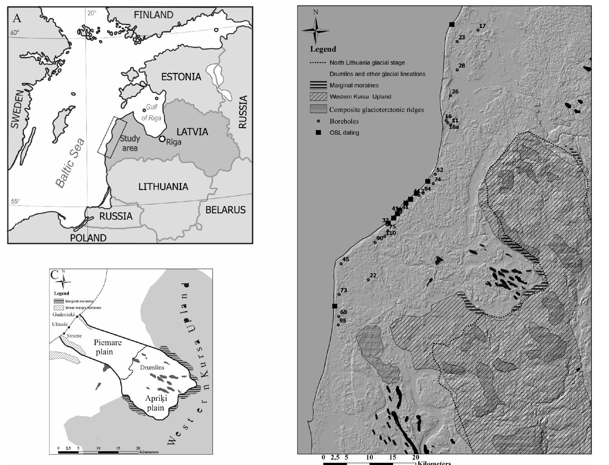
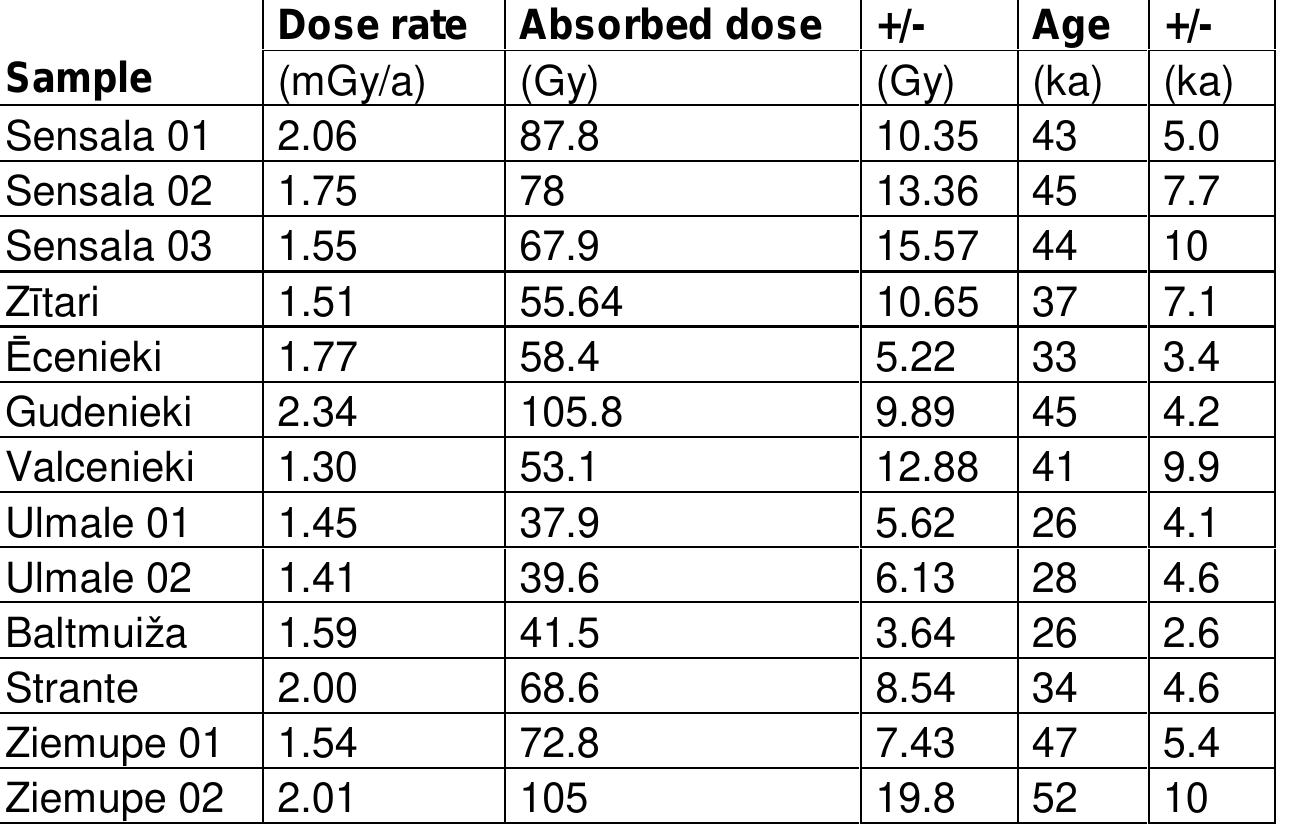
Elektroniskā versija nesatur pielikumusTomas Saks Promocijas darbs: „Vidus Vislas un Vēlās Vislas laika paraglaciālie un zemledāja vides apstākļi Rietumlatvijas piekrastes līdzenumos” Anotācija Šajā pētījumā ir prezentēti Baltijas jūras... more
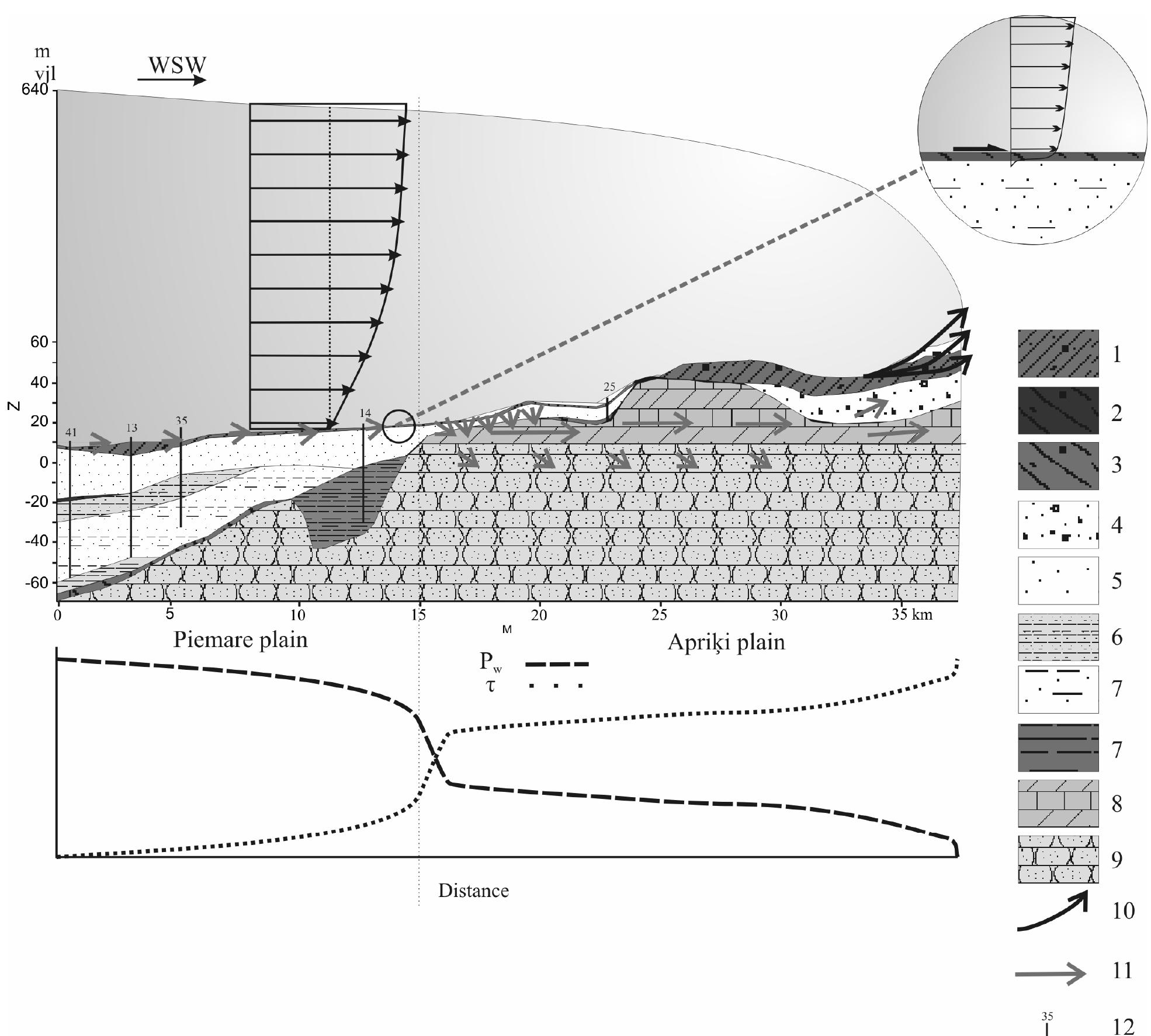
This article reports the results of a structural an d micromorphological investigation of heavily contorted sequence of glacial and non-glaci a deposits. The main part of the Pleistocene sequence comprises two units of differe nt till... more
Coastal regions are one of the most vulnerable areas to the effects of global warming, which is accompanied by an increase in mean sea level and changing shoreline configurations. In Indonesia, the socioeconomic importance of coastal... more
The shoreline is a boundary between wet and dry part of the beach, and it is dynamic in nature. Natural and human factors are always influencing shoreline configuration. One of the important natural events which are responsible for the... more
Monitoring shoreline changes is important in detecting abrasion and accretion in coastal areas. This study aimed to determine the level of shoreline change caused by abrasion and accretion and estimate the change rate. The study area... more
The South Bali coast is prone to abrasion due to its geographical position facing the Indian Ocean. High sea waves and currents in the south of Bali will erode beaches whose lithology and morphology are prone to abrasion. Land cover... more
Coastal erosion is due to natural phenomena and anthropogenic interventions that alter the coastal dynamics and the sediment balance. Therefore, to manage the coastal areas and to correctly design the necessary defence interventions, it... more
Jizan is one of the Saudi Arabian coastal cities endowed with diverse natural settings, which includes Ash Shuqayq in the north, Turfah in the centre and Jizan in the South. This work analysed specific environmental characteristics, such... more
The South Bali coast is prone to abrasion due to its geographical position facing the Indian Ocean. High sea waves and currents in the south of Bali will erode beaches whose lithology and morphology are prone to abrasion. Land cover... more
Regular and long-term monitoring of coastal areas is a prerequisite to avoiding or mitigating the impacts of climate and human-driven hazards. In Africa, where populations and infrastructures are particularly exposed to risk, there is an... more
This study presents measurement of changes using image processing techniques, Digital Shoreline Analysis System (DSAS) and Landsat images along the coast of the island of Djerba, Tunisia. Three regions of this island were selected: Rass... more
The BIMP-EAGA nations are collaborating to promote the subregion as a top ecotourism destination in Asia and the Pacific in order to capitalise on the future post-pandemic tourism boom. Increased tourism collaboration can close... more
The engagement of local community in environmental and marine life conservation is crucial for the development of a successful conservation promotion and other related initiatives. This would possibly lead to a sustainable conservation... more
In this era of globalisation, most university curriculum requires new sets of settings and arrangements. Universiti Malaysia Sabah (UMS) is no exception. Multidisciplinary , academic degree-granting programme in UMS have been designed for... more
A new remote sensing method based on video imaging is tested on a steep reflective beach (Grand Popo, Benin) to characterize the variation of the bed level and water level in the swash. The set up used enables the measurement of the wave... more
Incident wave conditions and morphological beach response in the region of West and Central Africa are investigated using data collected with a regional network of permanent video cameras systems. Daily beach profiles were computed... more
This paper assesses the morphological storm-event impact, seasonal cycles, trends of wave forcing, and beach's response at the coastal area of Grand Popo, Benin. Three and a half years' worth of data were collected from 2013 to 2016,... more
The Bight of Benin in the Gulf of Guinea, West Africa, forms an embayment between the Volta River delta in the west (Ghana) and the Niger River delta (Nigeria) in the east. The bight coast comprises sandy beaches backed by Holocene... more
The first large nearshore field experiment in the Gulf of Guinea was conducted at Grand Popo Beach, Benin, in February 2013, on an open wave-dominated micro-to meso-tidal coast, located midway between Cotonou and Lome harbours. The... more
Download research papers for free!