580 California St., Suite 400
San Francisco, CA, 94104

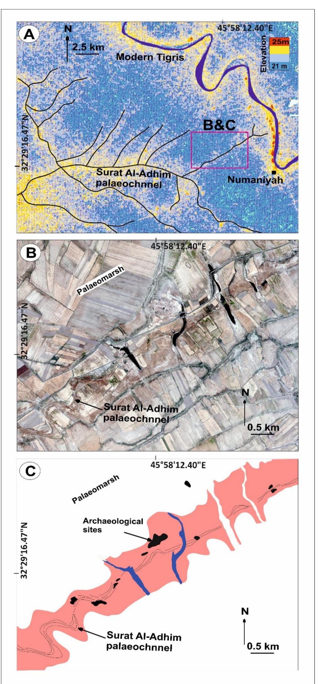
Figure 3 12: (A) QuickBird image showing the Bikasi palaeochannel. (B) Tracing of surface features including palaeochannel levees, scars and archaeological sites. (C) Field photograph showing a palaeochannel between two loops of a site. (D) Field photograph showing the Bikasi palaeochannels. (E) Field photograph showing buried foundation belong the Bikasi site. (F) Topographic cross-section through the palaeochannel, showing the lithologies of the BH22, BH23, and BH24 boreholes.