580 California St., Suite 400
San Francisco, CA, 94104

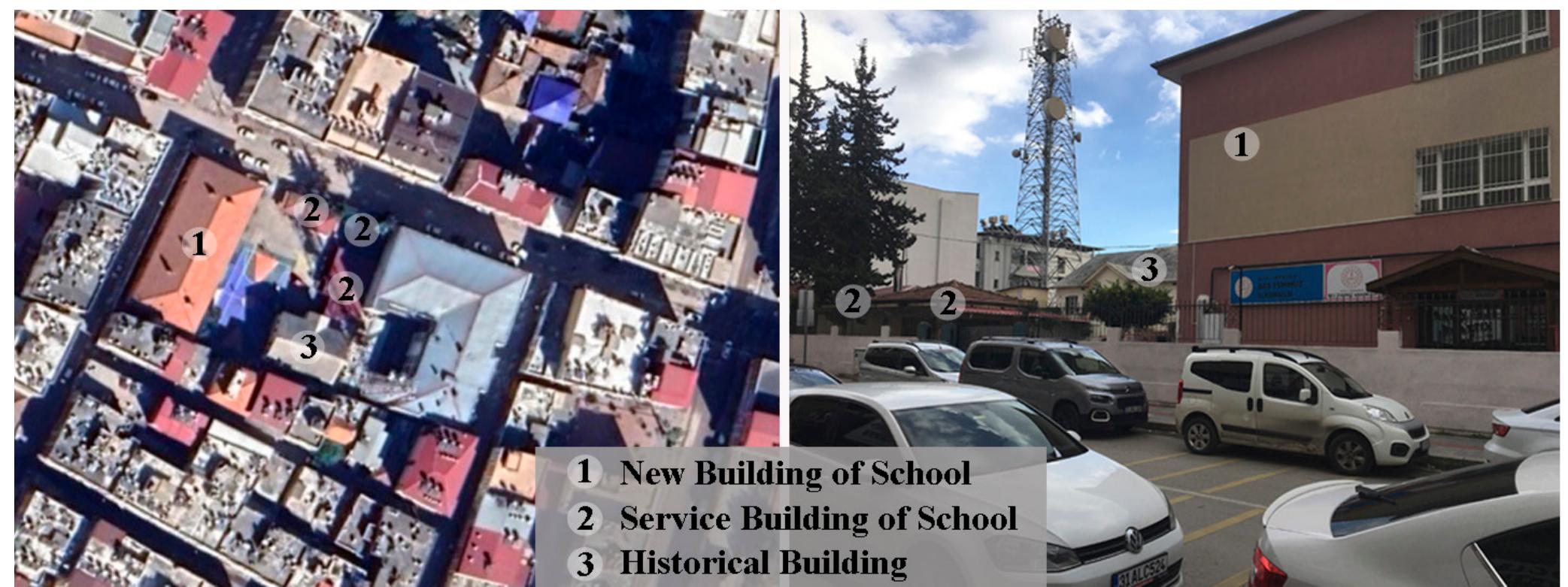
Figure 8 Visibility graph analysis (VGA) of the immediate surroundings of Iskenderun Bes Temmuz Primary School sing the French cadastral map of 1929, the iskenderun evelopment plan of 1982 and the updated basic plans. ased on the analysis conducted at point A, it was deter- ined that the visibility of the historical building was low uring all three periods due to the presence of other build- 1gs in front of it and the surrounding walls (Fig. 9). From oint B, assuming that the garden gate is open, it is under- ood that in the cadastral map of 1929 and the development lan of 1982, the western and partially northern facades ot \e building can be seen due to the church building in front: 1 the current situation, although there is no church, the his- rical building cannot be seen even from the gate due tc \e recently added service structures (Fig. 9). From point C, \e historical building was not visible during three different eriods due to obstruction by other buildings (Fig. 9). in the west according to the 1982 development plan; ser- vice buildings in the north, a new school building in the west, and a multi-storey Post Office Building in the east according to the basic map.