Figure 6 – uploaded by Geert J Verhoeven

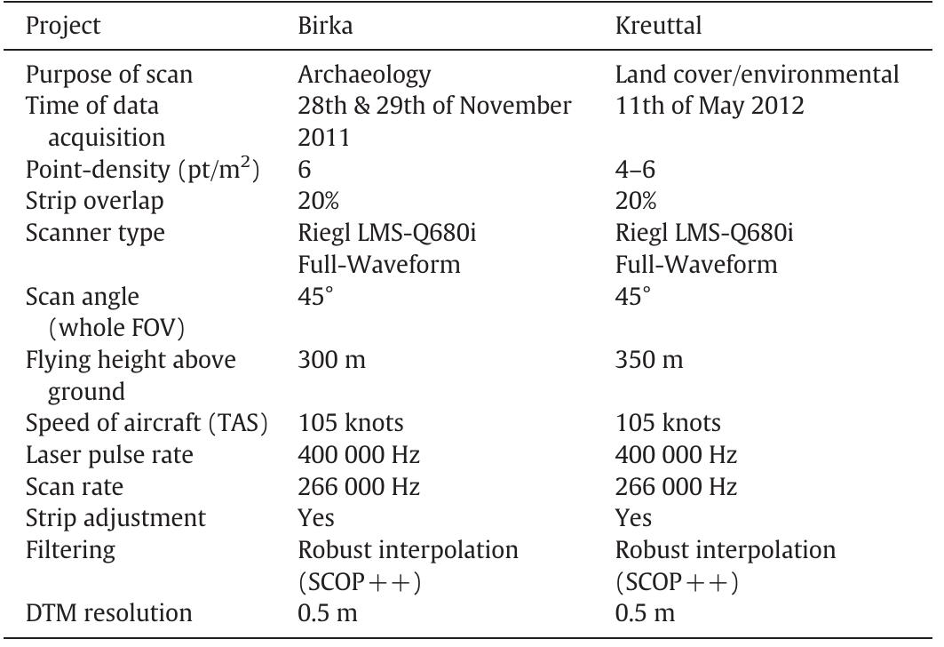
Figure 6 Positive (a) and negative (b) openness calculated for a subset of the ALS area acquired over the grave field Hemlanden at Birka. A large number of burial mounds as well as a part of the linear, NNW-SSE running town rampart can be seen in the image. Positive (c) and negative (d) openness calculated for a subset of the Kreuttal dataset. Multiple paths of varying depths and alignment can be seen, as well as a section of the earthwork bank, ditch and gate which run through the center of the image from NW to SE. In figures (a) and (c), topographically prominent areas and abrupt changes in slope are depicted as lighter in shade, while in figures (b) and (d) the deepest parts of features are displayed in a lighter shade.
Related Figures (15)


Connect with 287M+ leading minds in your field
Discover breakthrough research and expand your academic network
Join for free